Log in
All resources
Create a design
33,167 Free Images of 1552 Maps
maps made in the 18th century
gerard valck
atlantis magni tomus primus (biblioteca comunale di trento)
pieter schenk (i)
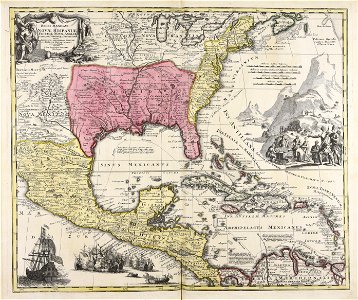
ohio
maps in the library of congress
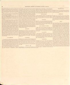
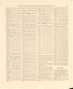
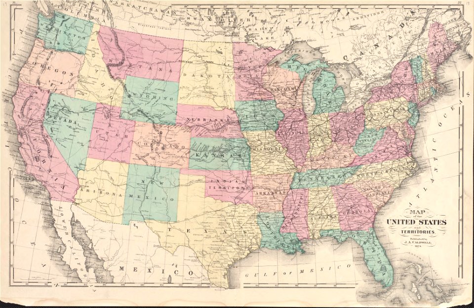
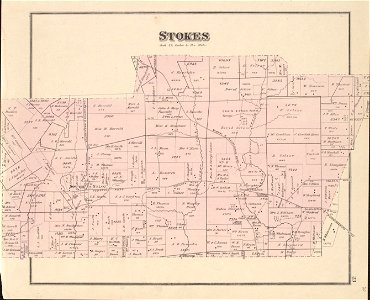
caldwell's atlas of madison co.
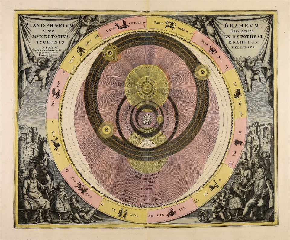
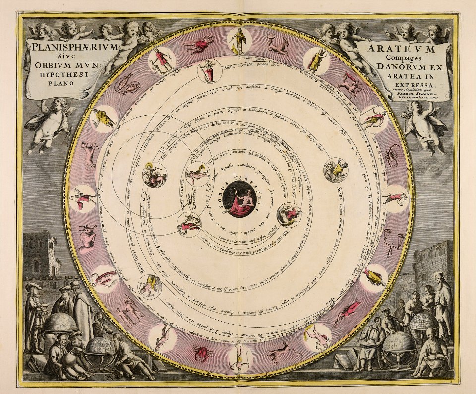
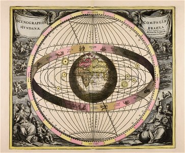
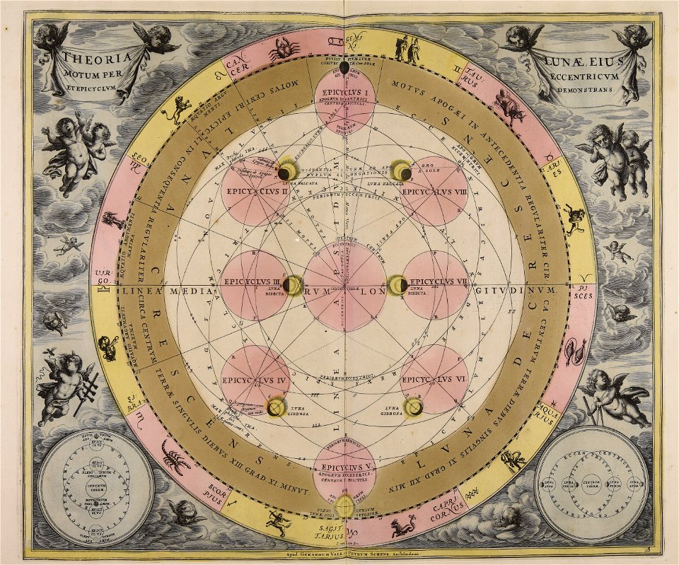
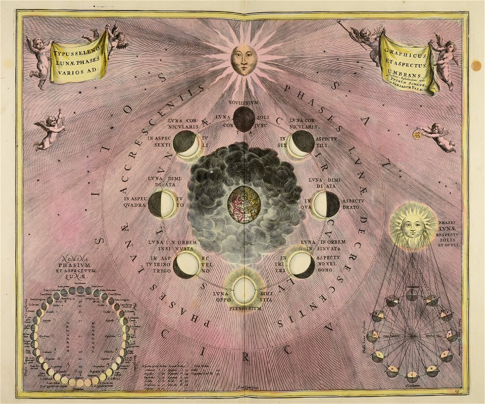
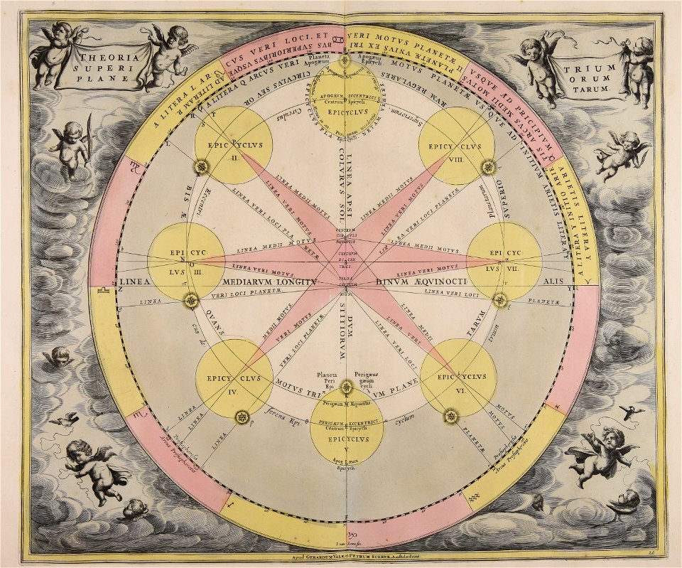
old celestial maps
cellarius harmonia macrocosmica
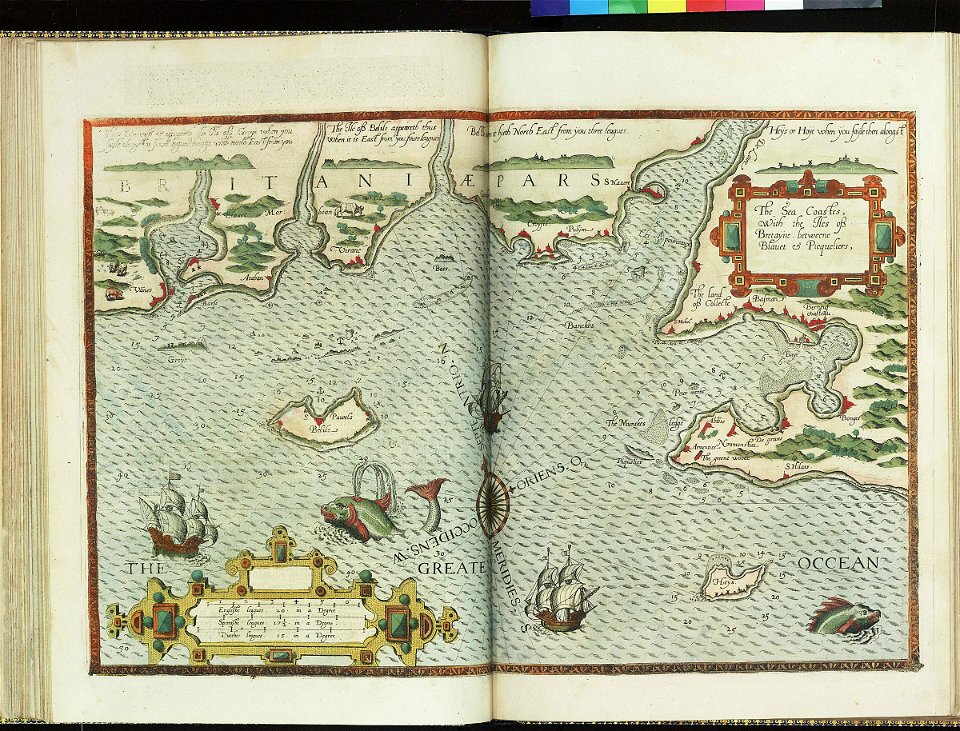
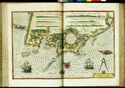
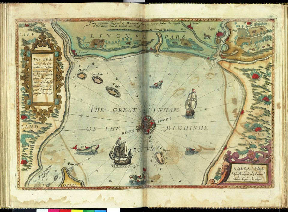
lucas janszoon waghenaer
engravings of topographia bohemiae moraviae et silesiae
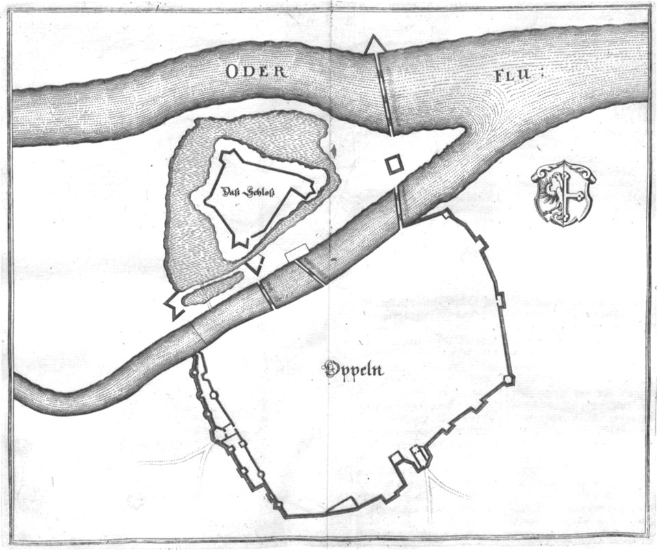
old maps of opole
maps by gerardus mercator
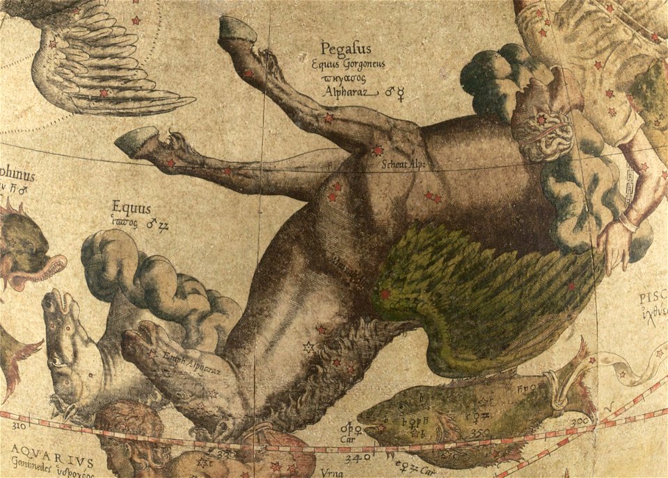
pegasus (constellation)
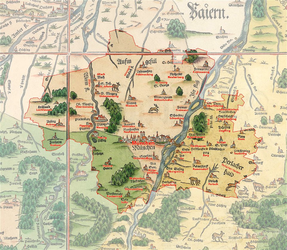
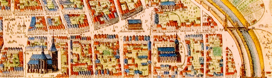
snippets of philipp apian's bairische landtafeln
old city maps of munich
universitätsplatz (rostock)
historical maps of rostock
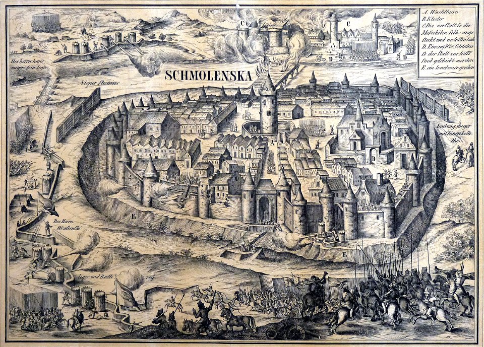
old maps of smolensk
willem hondius
maps of yamaguchi prefecture
nagato province
bibliothèque municipale de reims
rès. g 153
engravings of topographia bohemiae moraviae et silesiae
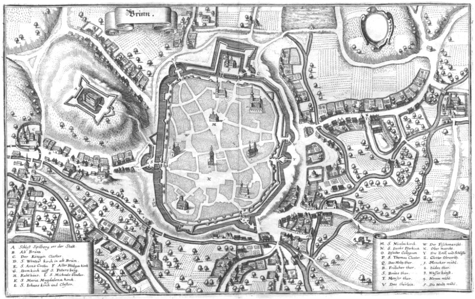
old maps of brno
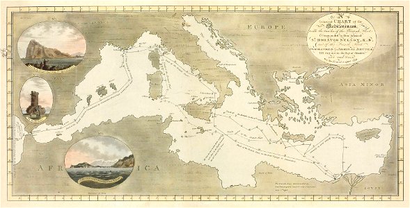
charts and maps of the royal museums greenwich
lucas janszoon waghenaer
charts and maps of the royal museums greenwich
lucas janszoon waghenaer
old maps of yekaterinoslav governorate
atlas of the russian empire (1792)
atlas of the russian empire (1792)
old maps of tobolsk governorate
old maps of yekaterinoslav governorate
atlas of the russian empire (1792)
charts and maps of the royal museums greenwich
lucas janszoon waghenaer
charts and maps of the royal museums greenwich
lucas janszoon waghenaer
charts and maps of the royal museums greenwich
lucas janszoon waghenaer
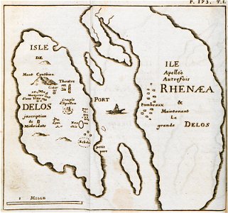
old maps of islands of the aegean sea
bartolommeo dalli sonetti
small atlas of the russian empire (1792)
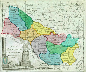
maps of kiev governorate
old maps of islands of the aegean sea
bartolommeo dalli sonetti
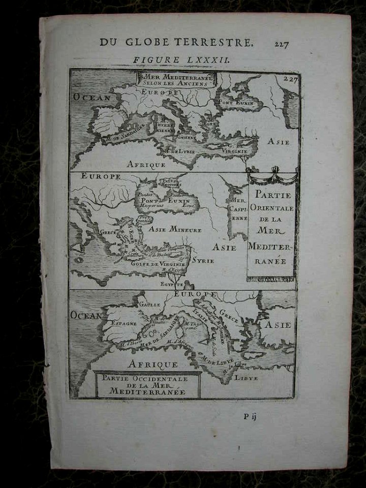
description de l'universe
alain manesson-mallet
volume 2 of le tour du monde
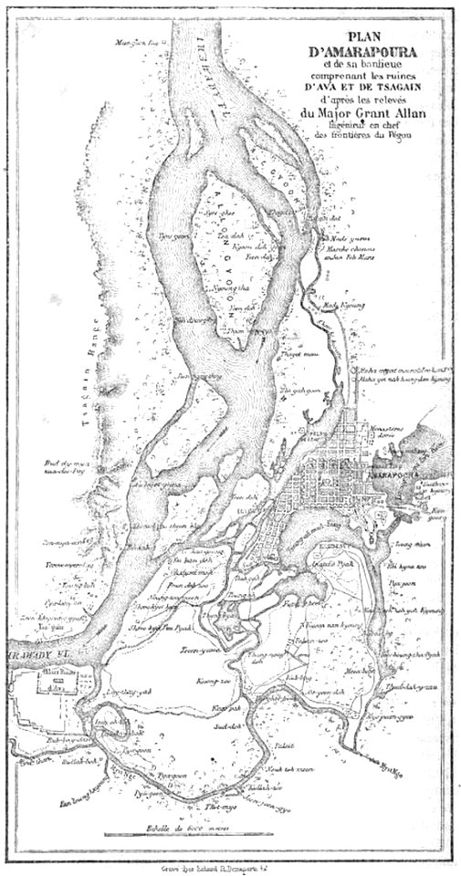
old maps of myanmar
volume 2 of le tour du monde
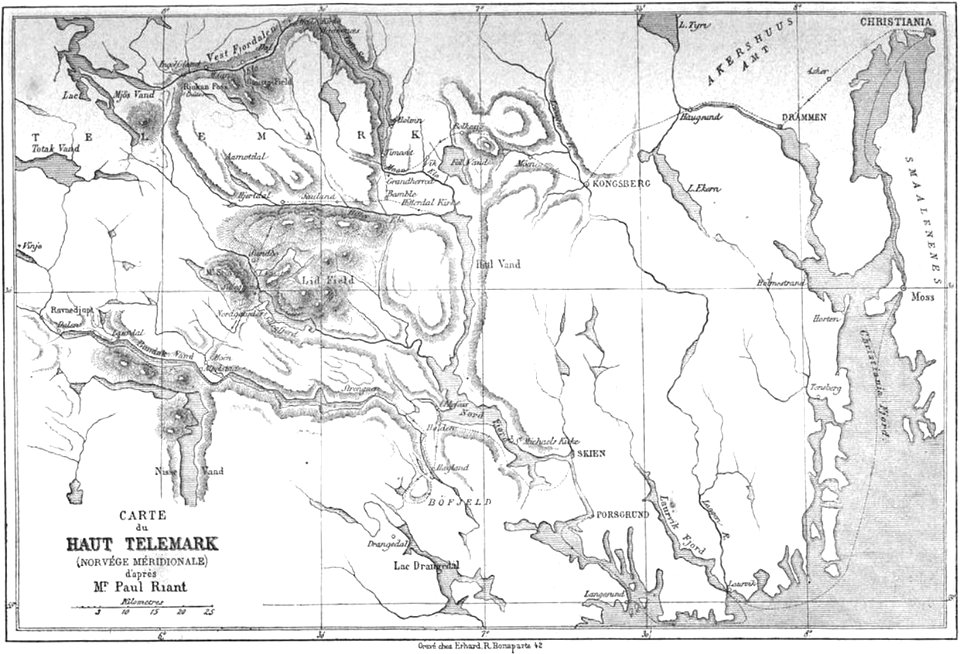
old maps of telemark
volume 2 of le tour du monde
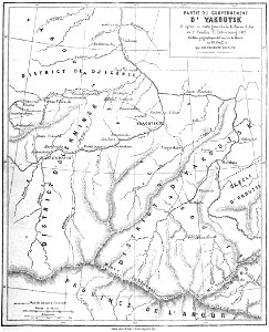
old maps of russia
volume 2 of le tour du monde
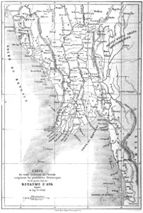
old maps of myanmar
volume 5 of le tour du monde
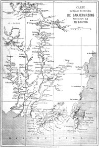
old maps of indonesia
sumatra in the 1900s
old maps of sumatra
volume 7 of le tour du monde
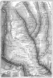
1863 maps of egypt
volume 7 of le tour du monde
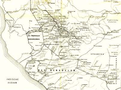
old maps of peru
volume 6 of le tour du monde
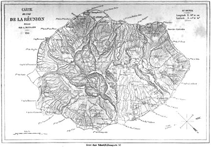
old maps of réunion
old maps of islands of the aegean sea
bartolommeo dalli sonetti
prints from the peace palace library
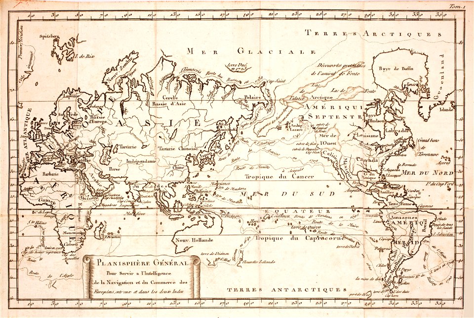
1770s maps of the world
volume 9 of le tour du monde
1860s maps of africa
volcanic rock
isle of mull
lithographs of paris
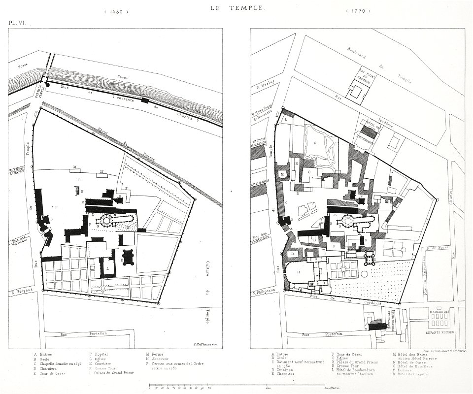
floor plans of paris
james william edmund doyle
owen bailey
prints in the royal collection of the united kingdom
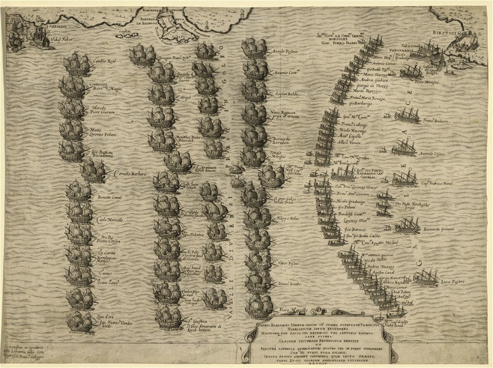
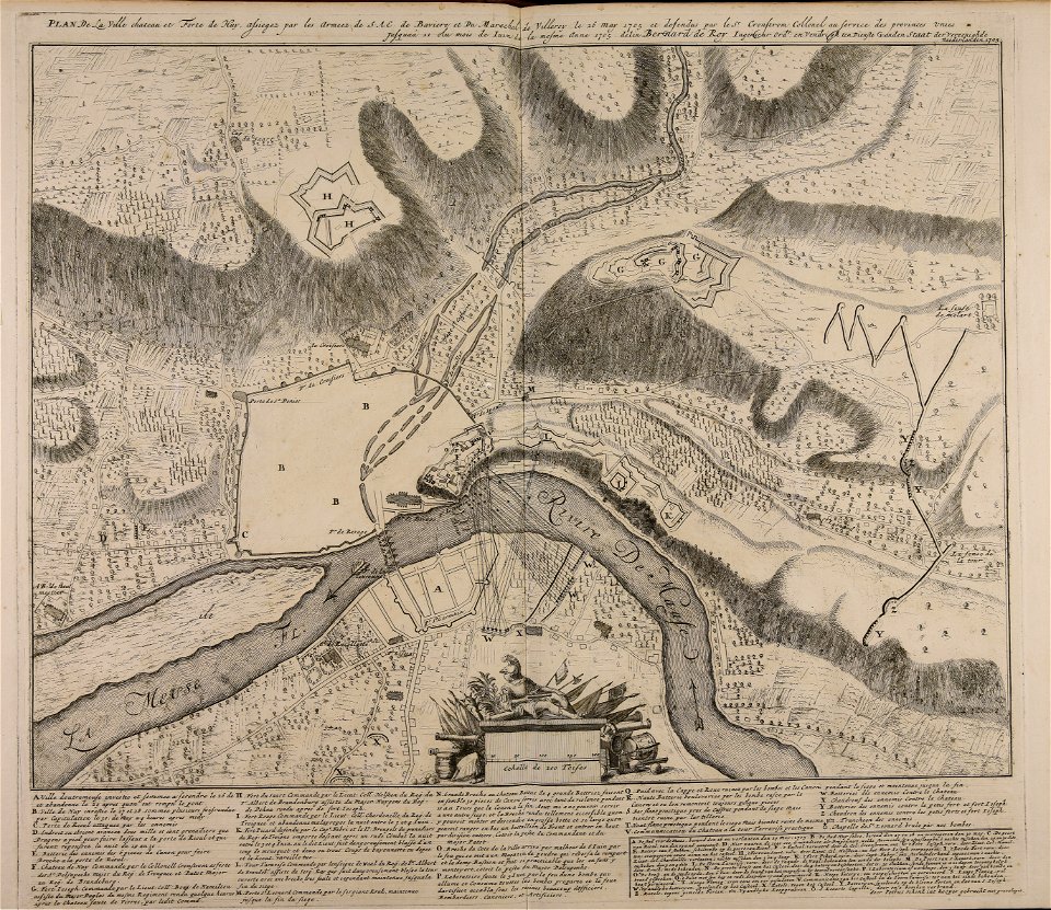
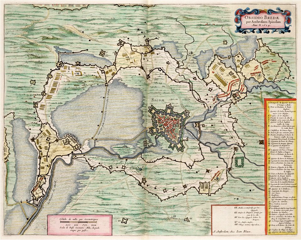
maps of battles of the thirty years' war
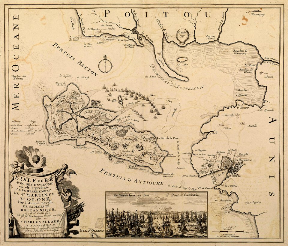
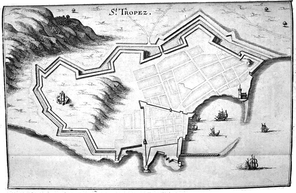
sainte-marie-de-ré
bombardment
netherlands
the hague
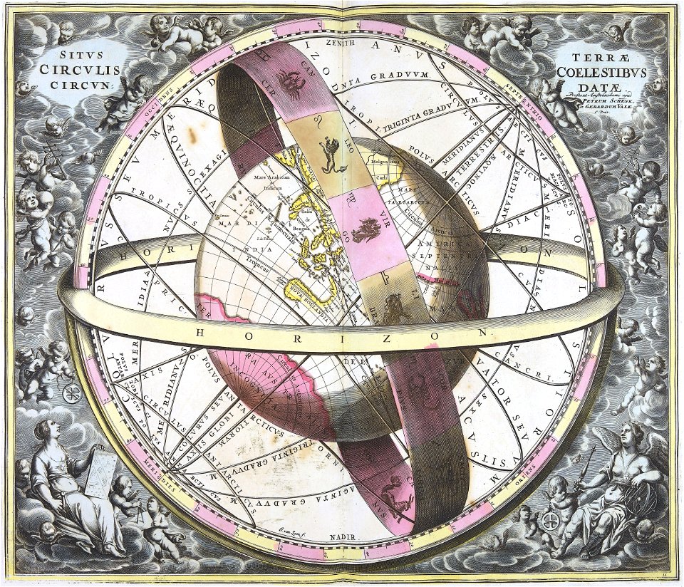
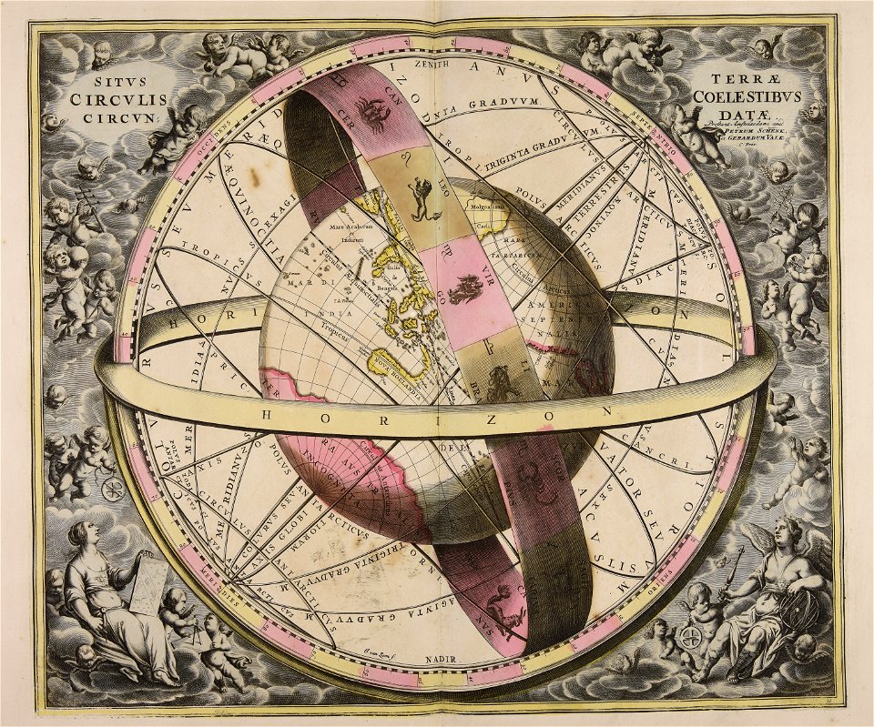
gerard valck
earth
gerard valck
earth
university of toronto wenceslas hollar digital collection
staffordshire
historical images of solothurn
solothurn
maps made in the 18th century
johann baptist homann
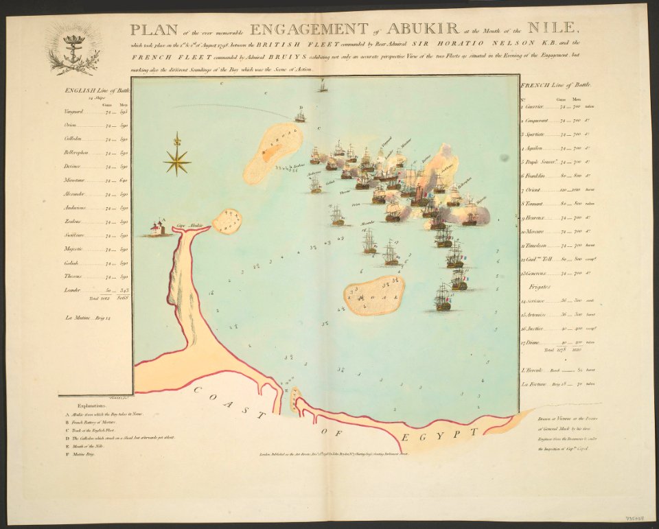
british battles on land and sea
1873 drawings
maps made in the 17th century
gerard valck
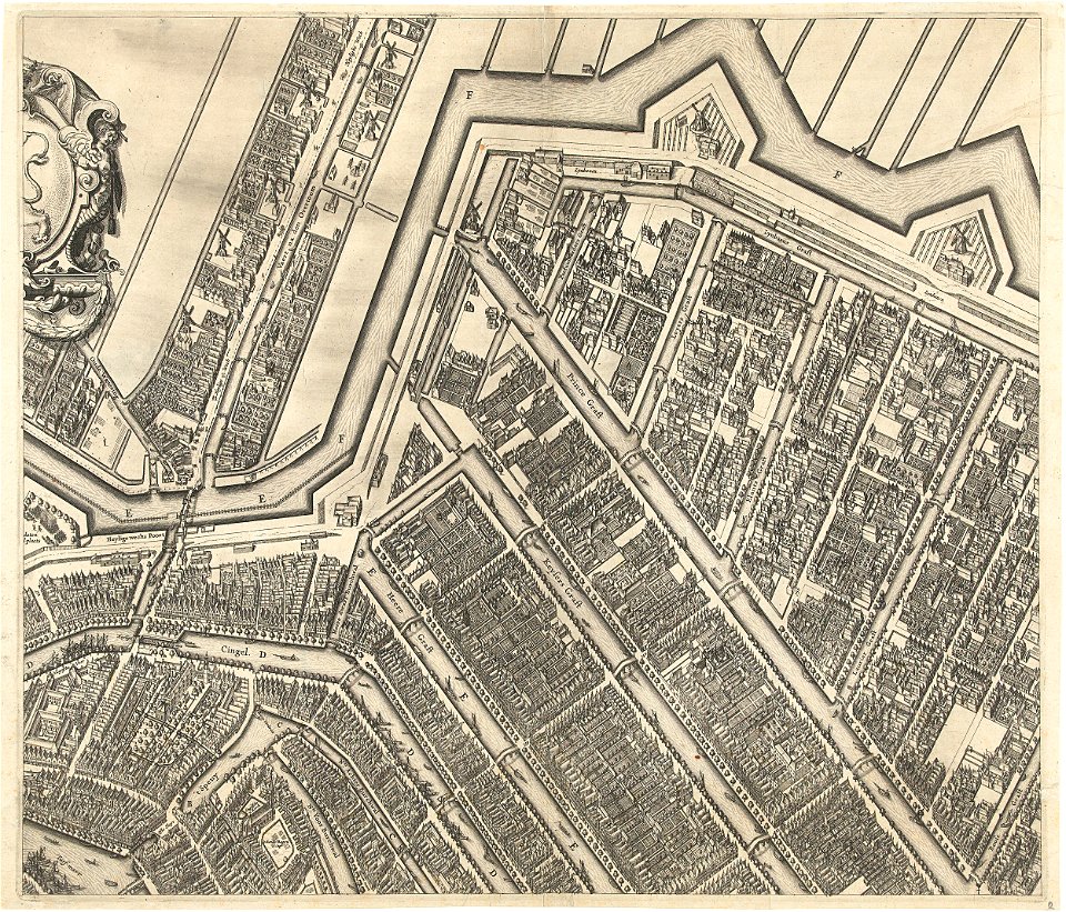
prinsengracht
amsterdam
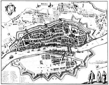
bremen in topographia saxoniae inferioris (merian)
engravings by matthäus merian
scotland in the early modern period
maps of battles
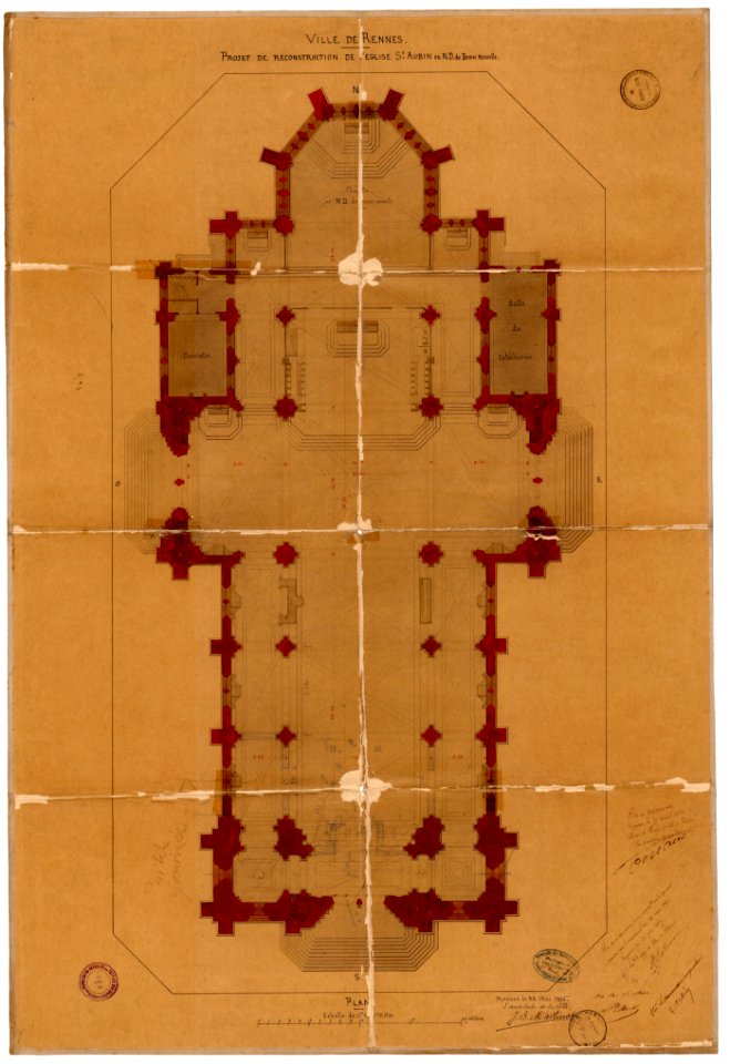
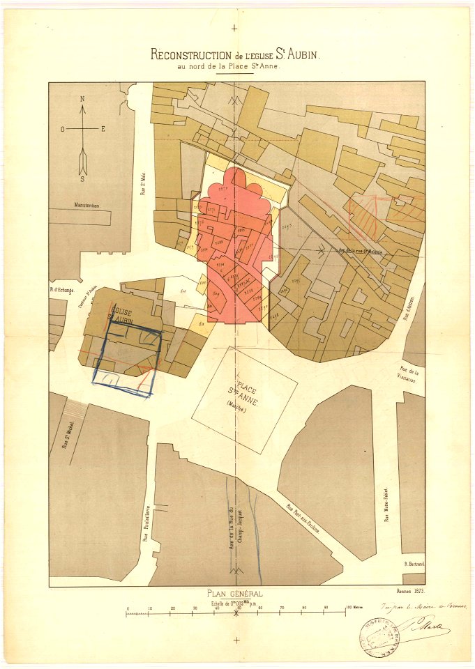
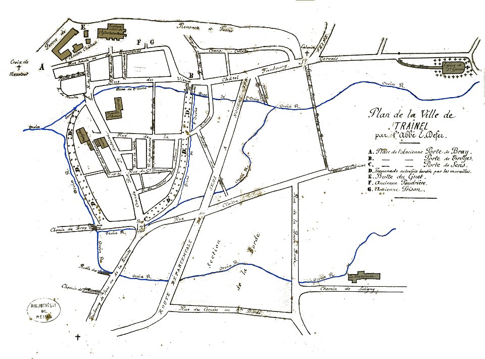
plans of churches in france
1875 maps
plans of churches in france
1873 in bretagne
printing
london
1696 in bretagne
1696 maps
munich in the 19th century
old city maps of munich
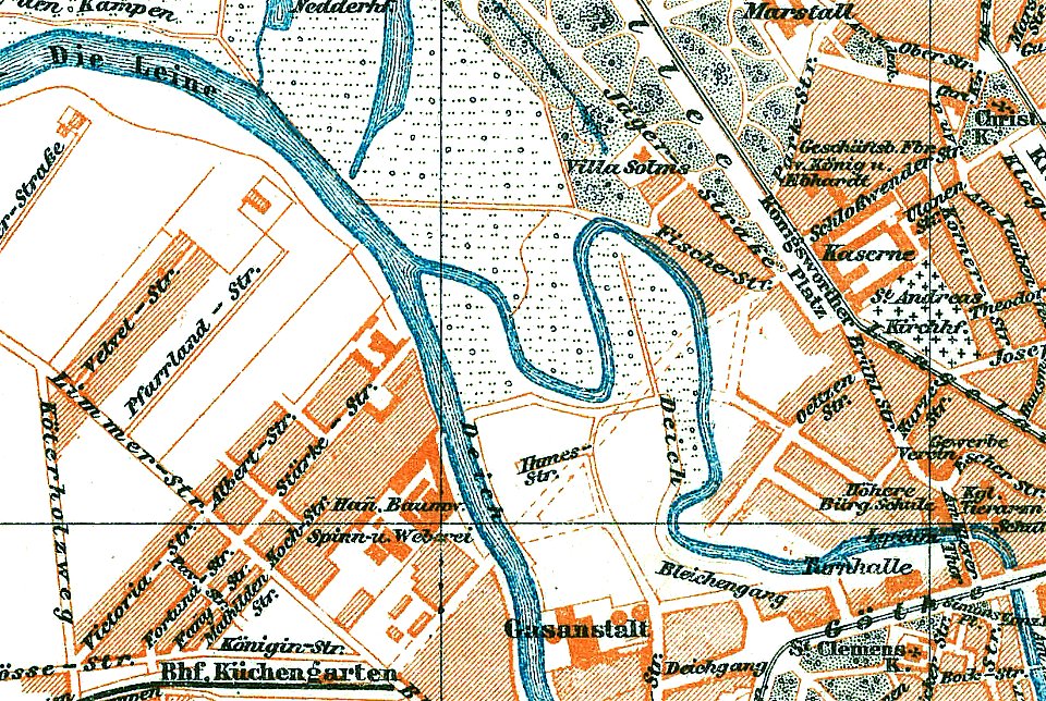
1888 in hannover
ihme
maps made in the 18th century
1705
maps made in the 18th century
gerard valck
maps made in the 18th century
gerard valck
maps made in the 18th century
gerard valck
conflicts in 1672
netherlands
gerard valck
moon
gerard valck
moon
17th-century maps of maastricht
maps of the franco-dutch war
portrait paintings by élisabeth vigée-lebrun (italian royalty)
portraits of children by élisabeth vigée-lebrun
portrait paintings in the kimbell art museum
portrait paintings by louis-léopold boilly
józef oleszkiewicz
classicism
university of toronto wenceslas hollar digital collection
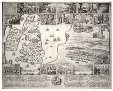
old maps of the british isles
john brydon (printseller)
thomas vivares
history of pernambuco
maps with cartouches
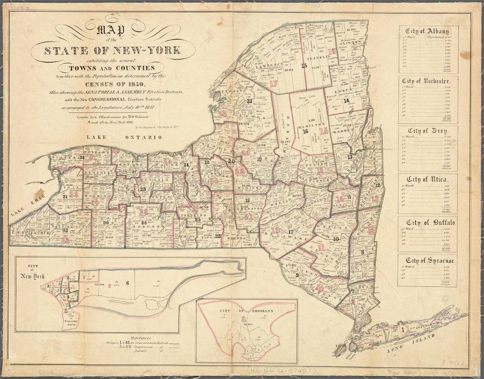
images from the new york public library
george hayward
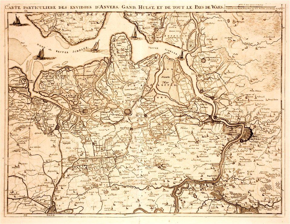
old maps of zeeland
western scheldt
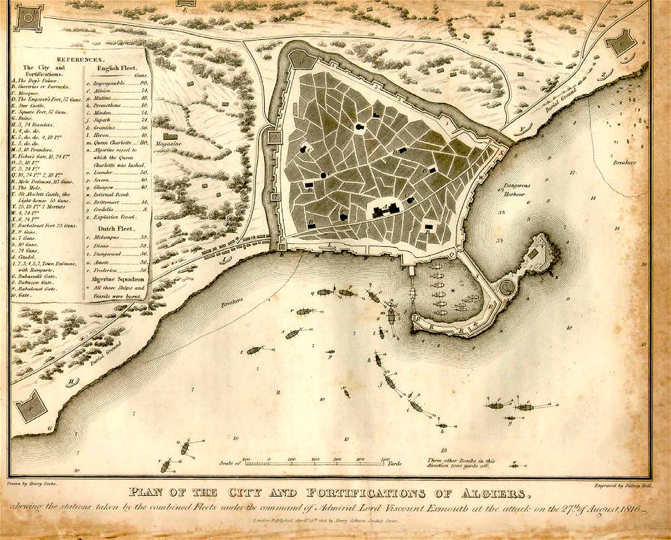
ottoman period in the history of algeria
1816 maps
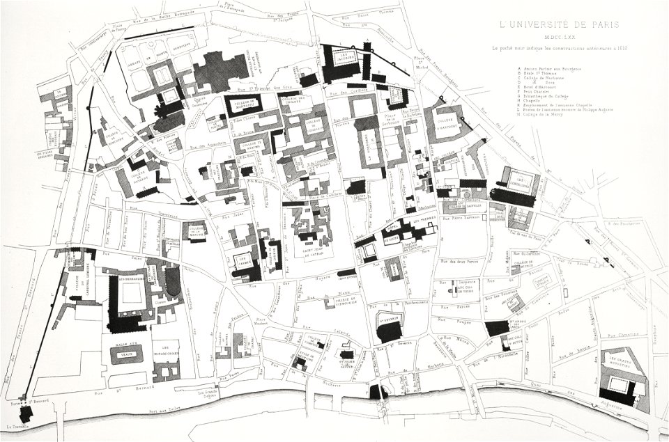
lithographs of paris
université de paris
maps by willem and johannes blaeu
circumvallation
gerard valck
moti
maps of paris from paris musées
plan de jaillot (1775)
greifswald in the 16th century
1552 in germany
bernardino lanino
1552 paintings
grandville (caricaturist)
people with maps in art
historical maps of warsaw
warsaw in the 1840s
ämteratlas des fürstentums lüneburg von johannes mellinger
mein
voyagie door italien
dalmatien
geographical illustrations by coronelli
old maps of the peloponnese
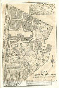
collection de la bibliothèque municipale de reims
old maps of aube
relation d'un voyage du levant 1718
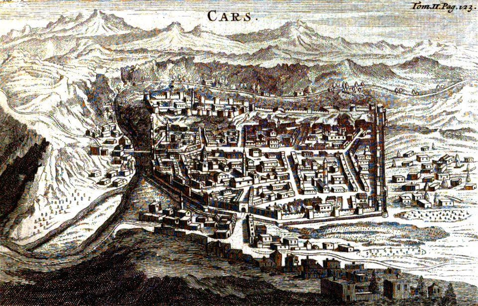
old pictures and maps of kars
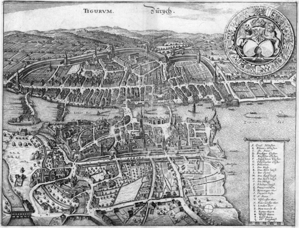
old maps of zürich
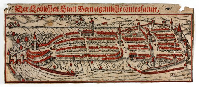
merian helvetiae
woodcuts of switzerland
15th-century woodcuts
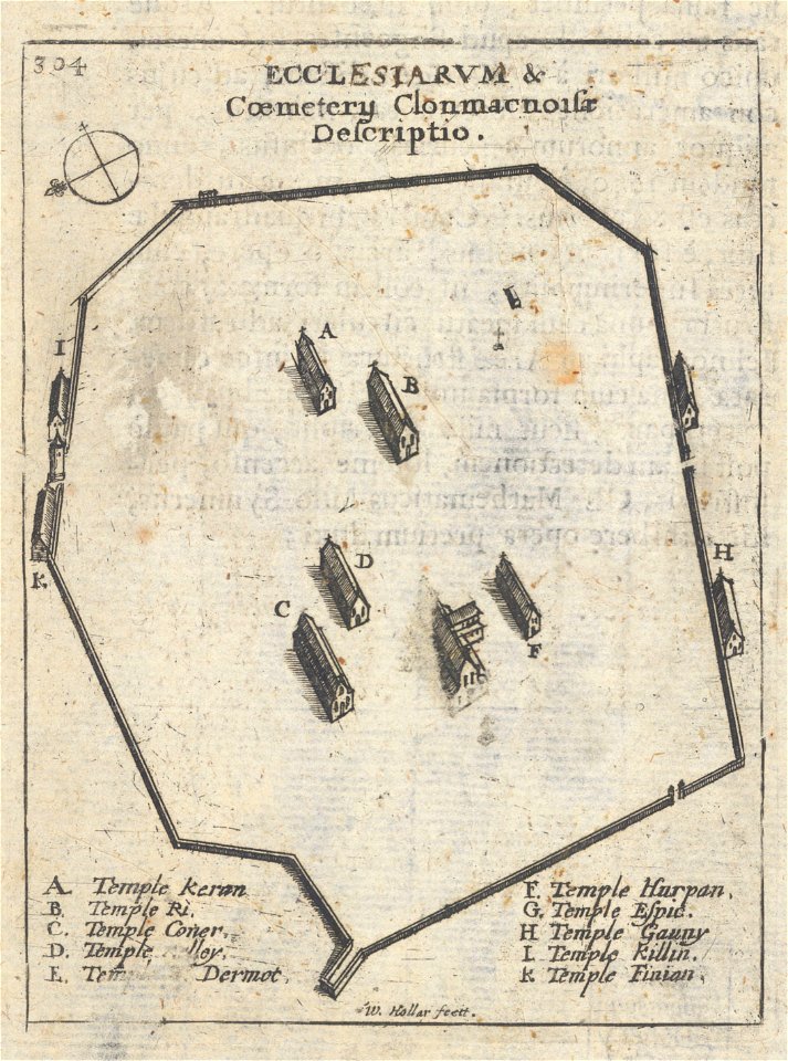
university of toronto wenceslas hollar digital collection
clonmacnoise
breitenlee
aspern
graphische sammlung der zentralbibliothek zürich
old maps of zürich
scans from 'autocar handbook'
ninth edition
fortified farms
nicolas de fer
maps in the library of congress
ohio
maps in the library of congress
ohio
maps in the library of congress
ohio
maps in the library of congress
ohio
maps in the library of congress
ohio
maps in the library of congress
ohio
maps in the library of congress
ohio
maps in the library of congress
ohio
maps in the library of congress
ohio
8001 - 8100 of 33,167
Next page
/ 332


![A literary party at Sir Joshua Reynolds', James William Edmund Doyle, 1851[1]](https://cdn.creazilla.com/illustrations/10001566600/a-literary-party-at-sir-joshua-reynolds-james-william-edmund-doyle-18511.jpg)